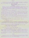
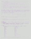
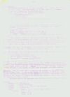
This is a guide that was apparently given to to
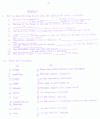
those arriving at Kagnew, describing many facets of Ethiopia. On page 5 there
are two exercises to test your knowledge after you've read it. Finally on page
6 is what looks like a hand-drawn map of Ethiopia with it's provinces outlined
and listing their names and capitals. Remember this was when Eritrea was still
part of Ethiopia.
It is a mimeographed copy (similar to what we all saw
in school) and the scan quality is very poor. I have scanned it in graphic form
so you can see the actual paper, and I have re-typed the entire document and
put it in web page format so it is easy to read. I have left all typos and
spelling errors and present it as close to the original layout as
possible. |


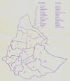 Map
Map